
How it works
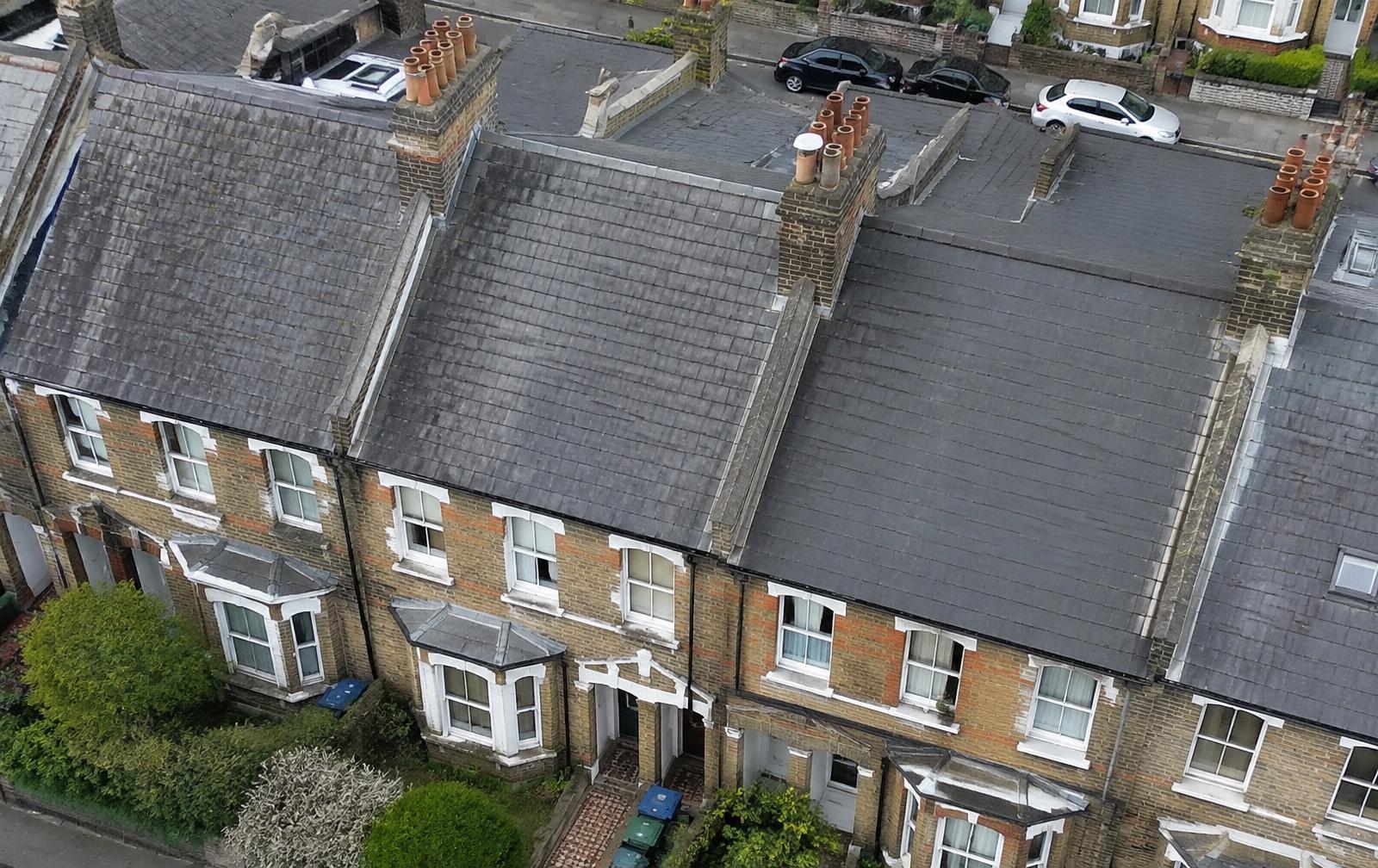
A qualified operator flies a camera drone around the property, capturing high resolution images of the roof, chimneys and elevations. A surveyor then reviews the imagery and records observations.
What it can show
Drone imagery is well suited to spotting slipped slates, damaged ridges, failing flashings, blocked gutters and weathered chimney stacks.
What it cannot show
A drone cannot see beneath coverings or inside the roof space. That is why it is often combined with a roof survey or a RICS Home Survey.
Rules and weather
Flights follow UK drone regulations and depend on airspace, weather and site conditions. Some London locations need permissions, which should be checked before the visit.