
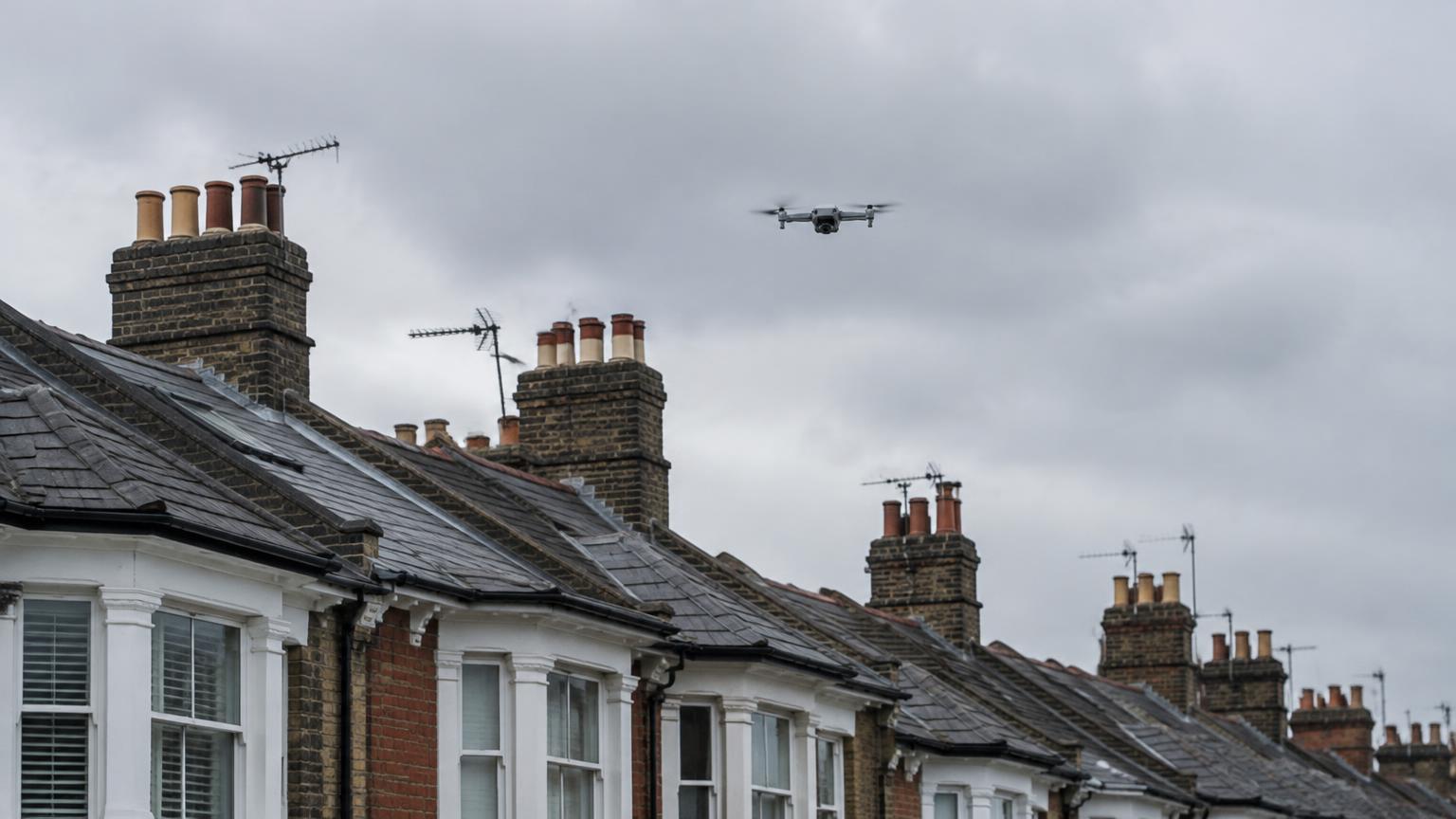
What a drone survey does well
A drone captures detailed images of coverings, ridges, valleys, chimneys, gutters, parapets and upper elevations. These are areas that are often hidden from the street, especially on terraced houses and tall period properties.
Because the initial visual inspection is carried out from the air, it can reduce the need for ladders or scaffolding simply to see the condition. A surveyor then reviews the imagery and explains the visible observations.
What a drone survey cannot see
Drone imagery is external and visual only.
- It cannot see inside the roof space or the condition of the timbers
- It cannot see beneath slates, tiles or flat roof coverings
- It cannot test for damp or measure moisture
- It cannot confirm structural adequacy
- Flights depend on weather, airspace and site conditions
What a physical roof inspection adds
A roof survey inspects the accessible roof space and visible roof structure from inside, with a visual check of the external roof from ground level. That is where signs of water ingress on timbers, movement, decay, and insulation or ventilation problems are found. These are things a drone cannot show.
Can a drone survey replace a RICS survey?
No. A RICS Level 2 or Level 3 survey considers the whole property, inside and out. A drone survey can add aerial detail to a RICS survey where the roof or upper walls cannot be seen well, but it does not replace it.
Choosing the right combination
If the concern is external, such as chimneys, coverings or gutters you cannot see, start with a drone survey. If the concern is the roof structure or signs of leaks inside, start with a roof survey. If you are buying, begin with the RICS survey that suits the property and add either service where the roof needs a closer look.